
City Maps Out 15 Growth Districts
Exploring growth areas and density zoning priorities shaping the city's future
Edmonton is reshaping its future one district at a time, and the blueprint is already on the table.
After years of planning, community consultations, and contentious public hearings, Edmonton city council has officially set the stage for one of the most ambitious urban growth strategies in the city's history — a sweeping framework built around 15 districts, layered nodes, and a bold density zoning vision designed to carry the city toward a population of two million people.
These Edmonton district plans are not just zoning documents collecting dust on a shelf.
They are active, living policy instruments that are already reshaping where development happens, how tall buildings can rise, and which streets are being transformed from quiet corridors into vibrant, transit-connected main streets.
For everyday Edmontonians — renters, homeowners, small business owners, and long-time neighbourhood advocates — understanding what these plans mean could make the difference between being caught off guard by change or being positioned to benefit from it.
The roots of this planning overhaul stretch back to December 2020, when The City Plan — Edmonton's combined Municipal Development and Transportation Master Plan — was approved by city council.
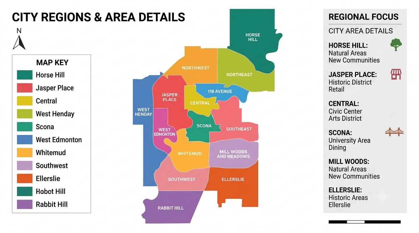
That document laid out a framework for growth that would eventually give rise to the District Planning process, grouping the city's more than 300 neighbourhoods into 15 distinct districts, each with its own tailored plan.
Those district plans were formally adopted in October 2024, after a three-day public hearing that drew more than 70 registered speakers, many of them passionately divided on what kind of city Edmonton should become.
The debate was anything but quiet.
Supporters argued that higher density, walkable communities, and transit-oriented development were essential to housing affordability and climate resilience.
Critics raised concerns about neighbourhood character, the pace of change, and whether existing green space protections were being adequately respected.
Among the voices of opposition were environmental advocates who warned that certain policies conflicted with existing open space commitments, while community league representatives called for stronger local input at the neighbourhood level.
In the end, council voted in favour, marking a decisive turning point in how Edmonton approaches growth.
At the heart of the Edmonton district plans is a geographic concept called the District Network — a system of nodes and corridors that identifies exactly where density is being directed and where it is not.
Each of the 15 districts contains a layered structure of urban centres known as nodes, ranging from the high-intensity Centre City — Edmonton's economic and cultural anchor — down through major nodes, district nodes, and neighbourhood nodes, each supporting a progressively smaller but still meaningful mix of housing, retail, and services.
Primary corridors are the city's most prominent and vibrant streets, functioning as both destinations and connections between nodes and the broader region.
Secondary corridors are smaller in scale, carrying a more residential flavour while still supporting commercial clusters and local amenities for surrounding communities.
Together, these Edmonton growth areas form the scaffolding around which new housing, transit investment, and commercial development are being deliberately concentrated.
The strategy represents a fundamental shift from how Edmonton has historically grown — outward and low-density — toward a model that prioritizes building up and filling in.
Officials have been clear that the goal is to direct 50 percent of all new development to the redeveloping area of the city — roughly inside Anthony Henday Drive — with a strong emphasis on nodes and corridors where infrastructure already exists.
That target is not just an aspirational figure.
It is backed by a parallel push on Edmonton density zoning that has moved aggressively to remove barriers for infill development across mature neighbourhoods.
In a significant move approved in May 2025, Edmonton city council passed a Priority Growth Area Rezoning bylaw affecting more than 1,200 properties across several key mature neighbourhoods and corridors.
The rezoning touched areas including Wîhkwêntôwin, the 124 Street corridor, the 156 Street and Stony Plain Road corridors, and the University-Garneau area — all identified as locations where transit investment is strong and redevelopment potential is high.
The new designations open the door to medium- and large-scale residential development, mixed-use projects, and small-to-medium scale transition residential zones in areas that were previously locked into lower-density uses.
It is a controversial move in some quarters, but one city officials say is essential.
Supporters of the rezoning argue that removing bureaucratic hurdles for infill construction is one of the most direct levers available to ease housing costs in a city that saw its population grow by more than 100,000 people — over ten percent — between 2022 and 2024 alone, the fastest two-year growth rate in at least two decades.
Critics, however, have raised pointed questions about whether the pace of densification is outrunning the community engagement process and whether longtime residents have adequate recourse when new builds alter the fabric of their streets.
Some neighbourhood advocates have called for a return to earlier zoning frameworks that gave residents stronger appeal rights against new development applications.
The tension is unlikely to dissipate soon, particularly as Edmonton growth areas near LRT stations and around the University of Alberta campus continue to attract developer interest and push property values upward.
Some housing policy observers have noted that current district plans may actually underestimate the density needed in these high-demand locations to meaningfully move the needle on affordability.
The city is threading a needle between too much, too fast and not enough, too slow.
Beyond the rezoning battles, the district plans are also reconfiguring Edmonton's planning bureaucracy in important ways.
As part of adopting the new framework, city council repealed 54 existing local plans and planning tools in October 2024, following an earlier wave of repeals in 2021 that eliminated 75 additional legacy documents.
The intention is to create a simpler, more coherent planning system where the overarching City Plan, the District Policy, and the 15 district plans work together seamlessly rather than competing with a patchwork of older, sometimes contradictory neighbourhood-level rules.
For developers and builders, this simplification is broadly welcome news.
Knowing precisely where higher-density development is permitted — and having confidence that district plans and zoning bylaws are aligned — reduces the uncertainty that has historically slowed project timelines and inflated costs.
The city also established an Infill Infrastructure Fund to address a long-standing complaint about densification: that older neighbourhoods simply lack the water, drainage, and road capacity to absorb significant new housing without public investment in shared infrastructure.
Tackling that gap head-on signals that the city understands densification cannot succeed on rezoning alone.
There is also a broader quality-of-life vision embedded in the district plans — one tied directly to the concept of the so-called 15-minute city, where residents can access most of their daily needs by foot, bike, or transit within a short trip from home.
That concept, championed by Mayor Amarjeet Sohi and city administration, envisions Edmonton as a network of complete communities rather than a collection of car-dependent suburbs orbiting a central downtown core.
Achieving that vision means not just adding housing density but also ensuring that as new residents move into growing nodes and corridors, the commercial, recreational, and civic amenities they need follow close behind.
The city has set a parallel target of ensuring that 50 percent of all trips made by Edmontonians are completed by transit or active modes such as walking and cycling — a target that, given current habits, will require sustained investment in both infrastructure and land use policy over many years.
For prospective homebuyers, real estate investors, and renters watching the market, these Edmonton district plans and the accompanying Edmonton density zoning changes carry direct and immediate implications.
Properties within or adjacent to identified nodes and corridors are now operating under a fundamentally different regulatory environment than they were just a year ago, and that shift is already being reflected in how developers are scoping projects and where capital is flowing.
For those living in mature neighbourhoods, the changes are a daily reality — construction activity, rezoning notices, and new permit applications are increasingly common sights on residential streets that were once considered stable and low-density.
Edmonton's district planning framework may be the most consequential planning reform the city has undertaken in generations, and its full impact on housing supply, community character, and affordability will unfold over years, not months.
What is clear right now is that the city has committed to a direction — and the work of building Edmonton's next chapter has already begun. |

Sep 13, 2026
Carbon Capture Storage Hub Services in Edmonton, Alberta | CCS Hub Canada
Explore Alberta's expanding carbon capture storage hub network, from Edmonton's Wabamun project to the Origins CCS hub — Canada's largest CCS facility.

Sep 10, 2026
Meta AI Data Centre Coming to Edmonton Alberta | Sturgeon County Project
Meta AI data centre in Sturgeon County is reshaping Edmonton Alberta's economy with 3,000+ jobs and a $13B investment in Canada's AI future.

Sep 7, 2026
Shop Local in Edmonton: Supporting Local Businesses for a Thriving Community
Discover how Edmonton's shop local movement boosts local business support and small business growth for a resilient community.

Sep 2, 2026
International School Trips in Edmonton: EPSB Cancels Overseas Travel
Edmonton public schools announce school trip cancellations for international school trips, impacting students and teachers across the district.
0 Comments
Join the conversation
Be the first to comment
Share your thoughts above.